In May, a CalFire captain named Sean Edwards stood near Bixby Bridge on a Saturday and realized something that had nothing to do with photography. The bridge was jammed with cars stopped for pictures, doors open, people standing in the traffic lane. Edwards later told a local news crew that what scared him wasn't the crowd itself. It was the math: if a fire truck had needed to get through at that moment, it could not have.
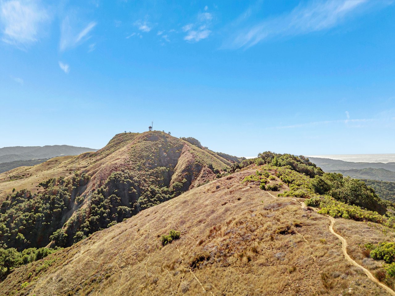
Three months later, on the night of August 8, a fire started in the Los Padres National Forest southeast of Loma Vista. It grew past 5,000 acres inside two weeks. Highway 1 closed between Fernwood and Julia Pfeiffer Burns State Park. Evacuation orders went out for zones stretching along the same corridor where Edwards had been standing in May. The bridge that couldn't fit an engine through on a weekend of tourists was, for a stretch of August, the exact road residents needed clear if the fire turned toward their houses.
Most coverage of this year in Big Sur treats those as two stories. One is about a tourism comeback. The other is about a wildfire. They ran in different news cycles with different reporters. For the roughly 1,200 people who live here year round, they were never separate. They were the same road, the same narrow margin, at two different moments.
The Three Years Before This One
To understand why this summer landed the way it did, it helps to remember what came before it. Highway 1 through Big Sur had been substantially closed since a 2023 slide, then cut off again in February 2024 when a massive failure at what came to be called Regent's Slide took out nearly seven miles of roadway just south of Lucia. For close to three years, getting from the northern half of the coast to the southern half meant either waiting it out or driving a detour that added roughly three hours and 150 miles.
Longtime residents have a name for what that isolation felt like: island life. Businesses that depend on pass-through traffic, the Big Sur River Inn among them, watched revenue drop by as much as 80 percent during the worst stretches. The Inn's owner reportedly dipped into personal savings to make payroll. Down the coast, the Ragged Point Inn, perched 350 feet above the Pacific and open since 1962, leaned on airdropped groceries during the longest closures and took out loans just to keep the doors open through slow seasons that had no end date attached to them.
Governor Newsom announced in January that Caltrans would reopen the Regent's Slide section ahead of the original March 30 estimate, using remote-operated bulldozers and steel reinforcements drilled up to 60 feet into the slope. The road opened at noon on January 14, 2026. For a community that had absorbed three years of uncertainty, that date functioned less like a ribbon cutting and more like an exhale.
What "Reopened" Actually Meant
The numbers that followed are the kind that look like unambiguous good news until you sit with them. Restaurant and retail visits along the corridor rose 40 percent compared to the prior year. Northbound traffic at Ragged Point, the coast's southern gateway, spiked more than 900 percent year over year. Hotel occupancy across the Central Coast ran between 80 and 96 percent in February and March, with revenue for the critical March through August season projected to roughly triple.
Those figures describe relief for businesses that had been bleeding for three years. They do not describe a gradual return to normal traffic patterns that residents and infrastructure could absorb gradually. Big Sur went from a coastline so cut off that the mail sometimes arrived by helicopter drop to one of the most-searched road trip destinations in the country within a single winter, with no season in between to adjust.
Kirk Gafill, who manages the cliffside restaurant Nepenthe and heads the Big Sur Chamber of Commerce, described it plainly: the pent-up demand was unreal, and once the road reopened, tourist season switched on like a flipped breaker. That is exactly the kind of statement that reads as good news in a business roundup and as a warning in a public safety briefing, because both readings are accurate at the same time.
"It tends to just be this unmanaged, free-for-all sometimes, is how I feel it when you drive this highway." — Marcus Foster, quoted in AOL.
He was describing the Memorial Day weekend scene at Bixby Bridge, where he says the same 20-space lot has drawn crowds of roughly 200 cars for at least 15 years. What changed in 2026 wasn't the underlying problem. It was that three years without traffic had erased everyone's memory of how bad it could get, and then it got that bad again all at once.
One Bridge, Two Emergencies
Monterey County responded to the Bixby Bridge congestion in the only way immediately available to it: a 12-month no-parking zone along Highway 1 near the bridge and Old Coast Road, in effect since August 6, 2026, with citations for anyone who parks illegally. Foster and others have pointed out that enforcement is a real question mark. Big Sur no longer has a resident sheriff's deputy, and by his account only two California Highway Patrol officers cover the entire stretch.
Two days after that parking ban took effect, the Timber Fire ignited. Cal Fire's own incident updates trace the escalation hour by hour: 2,989 acres and 5 percent containment by August 11, 259 structures threatened, 480 personnel on scene with 36 engines, 13 hand crews, and eight helicopters working terrain where fog limited air support. Evacuation orders and warnings spread across more than a dozen zones. State parks including Point Sur, Andrew Molera, Pfeiffer Big Sur, and Julia Pfeiffer Burns closed entirely. A ten-mile stretch of Highway 1 shut down between a point north of Julia Pfeiffer Burns and the community of Fernwood, the same general corridor where photo traffic had piled up three months earlier.
On August 14, the county held a community briefing at the Big Sur River Inn, the same institution that had nearly gone under during the road closures and had since celebrated its best Memorial Day in 92 years of operation. Highway 1 through Big Sur fully reopened following the Timber Fire as of August 22, according to Monterey County's travel advisory, though visitors and residents alike are still asked to watch for emergency response equipment and personnel in the area.
What This Summer Actually Taught
A geologist quoted in recent coverage called this stretch of Highway 1 the most environmentally fragile piece of roadway in the country, a description backed by USGS mapping that identifies 75 miles of the Big Sur coast as landslide-prone terrain with more than 1,500 mapped slides. That fragility cuts two ways. It is why the coast has gone a decade without a single year free of some major closure, whether from rockslide, mudslide, or fire. It is also why every conversation about tourism volume here is, underneath the surface, a conversation about whether emergency access holds up when it matters most.
For residents, the practical takeaway isn't that the reopening was a mistake or that visitors are unwelcome. The business recovery is real and it matters to neighbors who spent three years watching payrolls shrink. What this year has made concrete is that the margin between "good tourism season" and "the road we needed wasn't clear" is thinner here than almost anywhere else on the California coast, and it can close in the space of a single Saturday afternoon or a single spark above Loma Vista.
That is the part of this year's story that doesn't fit neatly into either a travel piece or a fire update. It sits in the space between them, which is exactly where the people who actually live on this coast spend their August.
If you are weighing what a property on this stretch of coast means day to day, not just as a view but as a place with its own particular rhythms of access and isolation, Carmel Luxury Group can walk you through it with the kind of local grounding this kind of decision deserves. Start a confidential consultation whenever you're ready to talk specifics.