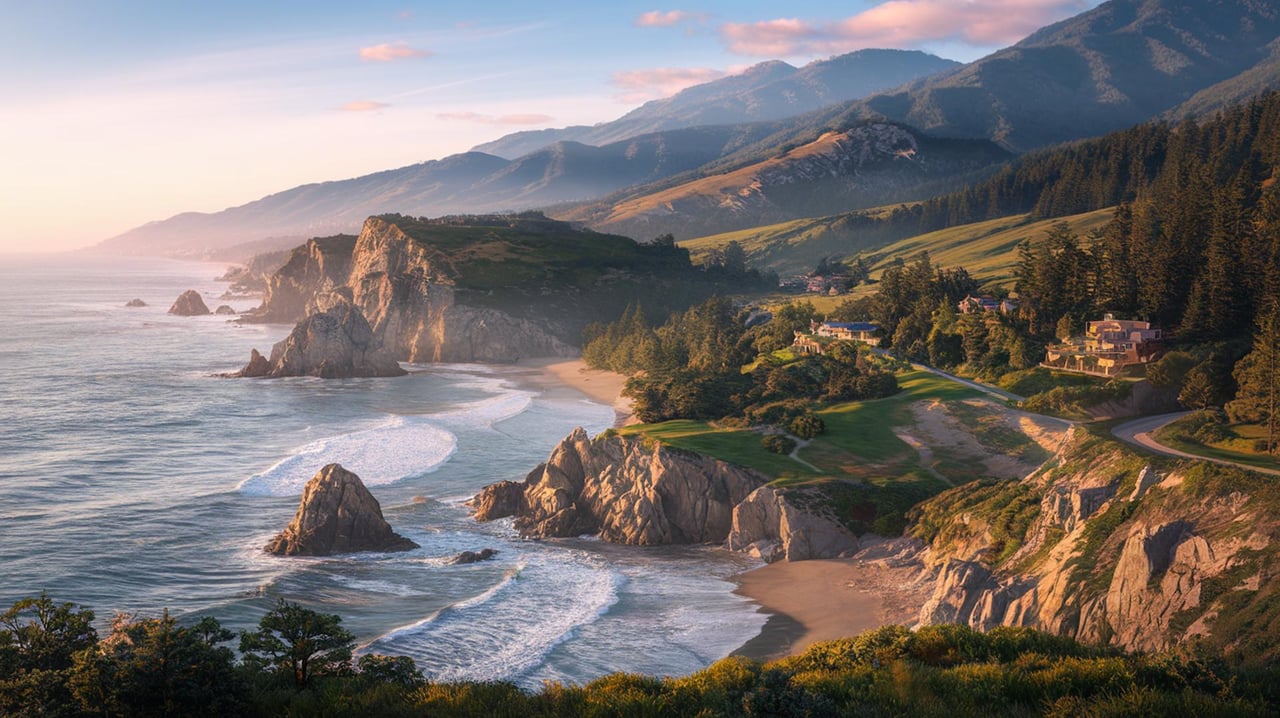
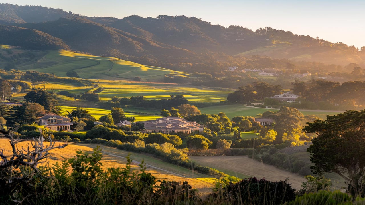
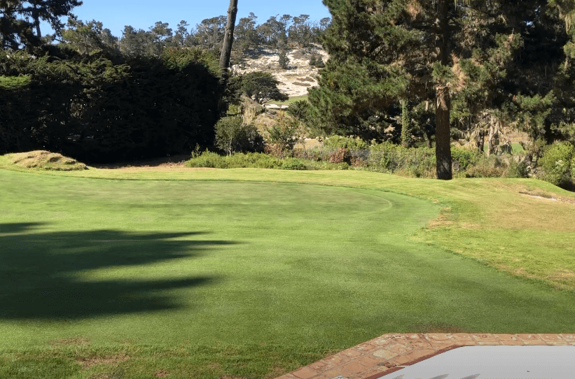
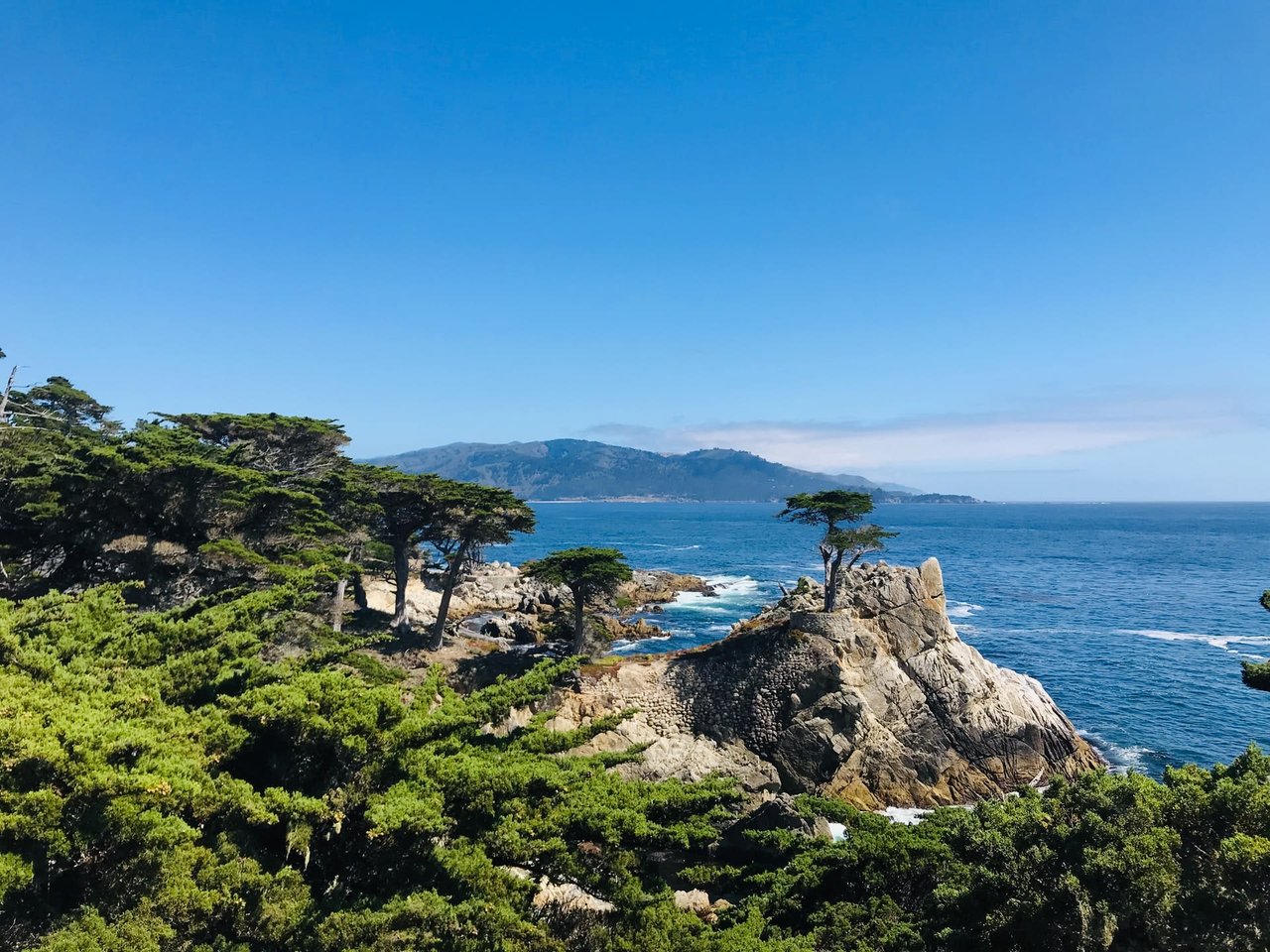
The second week of August, the Peninsula compresses. Highway 1 stacks up south of the tunnel, 17-Mile Drive fills with transporters, and dinner reservations from Carmel-by-the-Sea to Pacific Grove vanish by Tuesday. Marina, eight miles north, runs on a different clock. The Dunes parking lots are calm at ten in the morning. The trail lot at Creekside Terrace off Reservation Road has spaces. The wait at the new tortilla counter is two people deep, not twenty.
That contrast is the point of this piece. For residents who already own the beach chair and know which turn puts them on Imjin Parkway, the ten days everyone else is elbowing through Concours crowds are the ten days Marina rewards most.
The Dunes Side Just Got A Real Anchor
On February 19, 2026, the Moncada family opened a third El Charrito on the Marina Promenade inside the Dunes community, running 7:30 a.m. to 6 p.m. daily and pulling tortillas from the original Salinas kitchen every morning. It is a fast-casual counter with buttery, house-pressed corn tortillas that most Peninsula residents already know from the Salinas or Monterey locations, now four minutes from The Dunes on Monterey Bay retail center rather than a twenty-minute drive up 68 or 101.
That single opening changes the shape of a Marina Saturday. Before February, the Dunes side was a place you went for the theater, Target, or a walk on the beach path, then drove back over the hill for lunch. Now there is a reason to stay through the meal, which in turn means the beach walk lengthens, and the errand run gets folded into the same trip. El Palmar, a few minutes closer to Reservation Road, holds down the sit-down side of that same equation with handmade corn tortillas and a shrimp-forward menu. Two independent tortilla programs inside one small town is not the market position Marina used to have.
What Fort Ord Actually Offers On A Wednesday
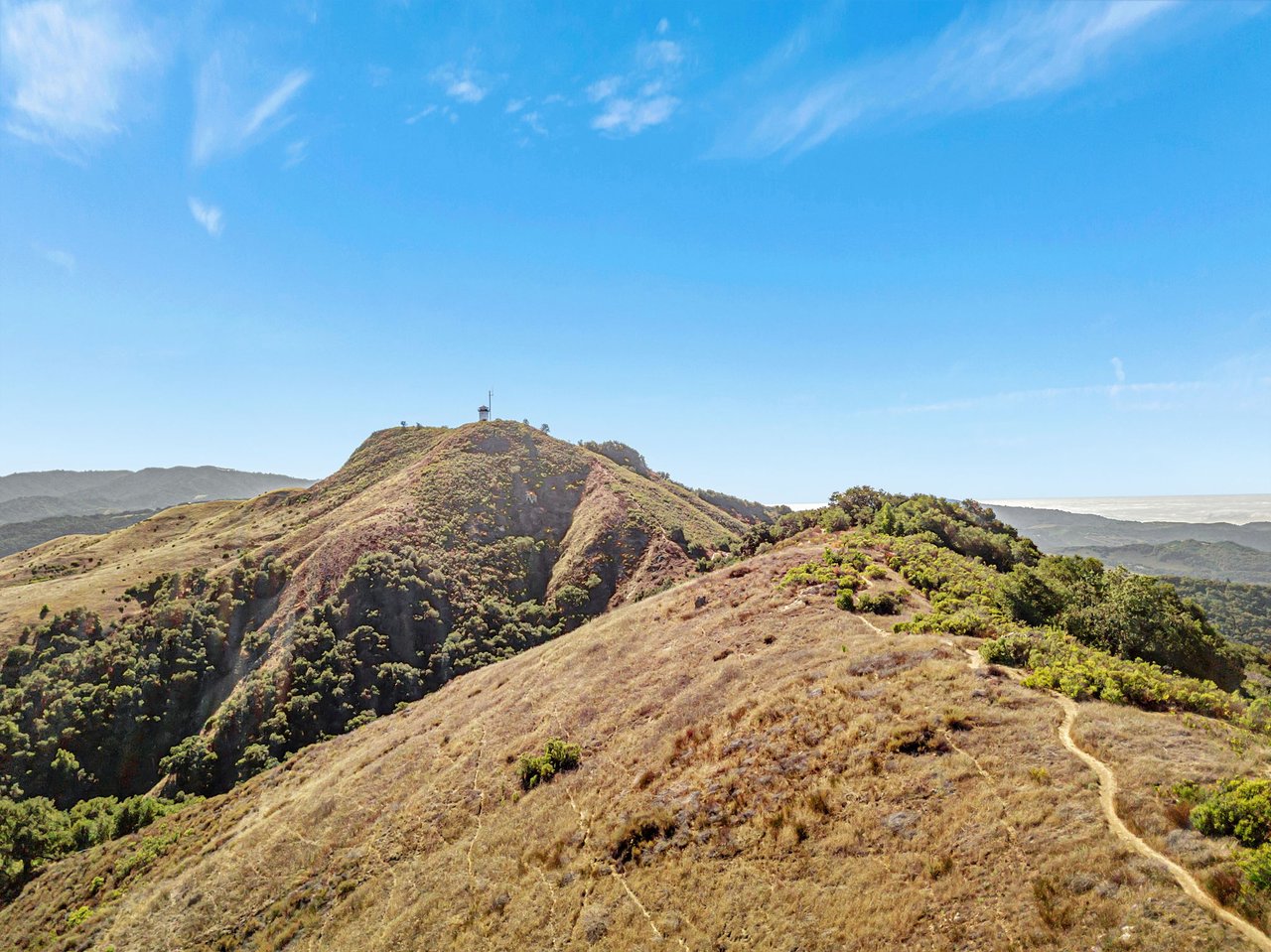
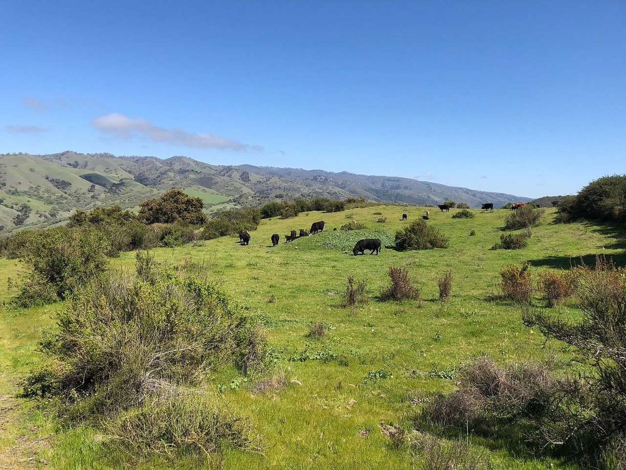
Fort Ord National Monument covers roughly 7,200 acres of former Army training ground with about 83 miles of open trail, according to the Monterey County visitors bureau. Dawn to dusk, no fee, no gate.
The scale is the story. Residents who have only walked the Badger Hills or Creekside Terrace loops are working a small corner of the network. A partial map of what the rest holds:
- Guidotti Road out of the Creekside Terrace trailhead for a long, gentle chaparral climb with no shade and reliable dawn light
- Oil Well Road from the Badger Hills entrance for the widest fire roads, which is where the mountain-bike traffic concentrates on weekends and thins out mid-week
- Toro Creek Road for the deepest interior loop, which is quiet enough on a Tuesday morning that you will hear the raptors before you see them
- Skyline Road, high enough to catch the marine layer breaking apart across the bay
None of this shows up on the Car Week itinerary. Which is exactly why a resident with Wednesday afternoon free should be pointing a car north, not south.
The Bluff-Top Four Miles Most Visitors Miss
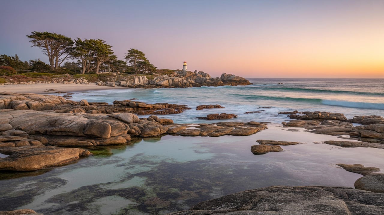
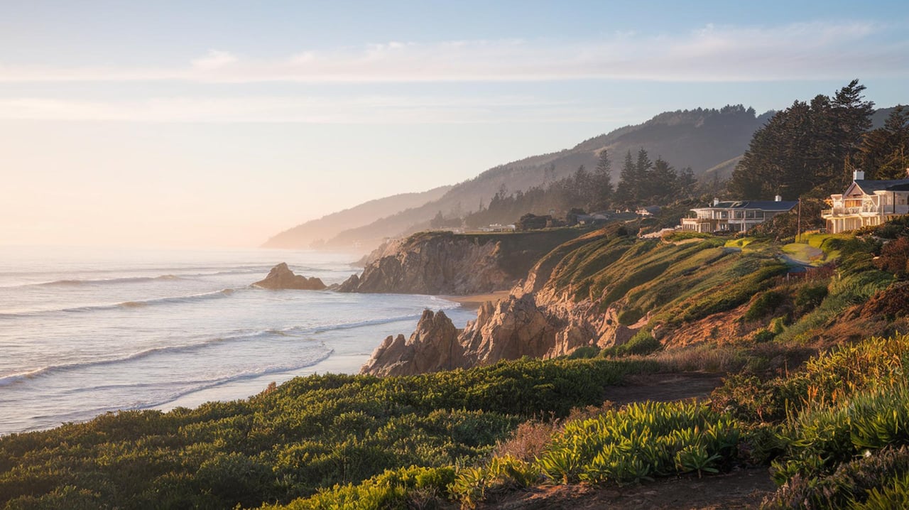
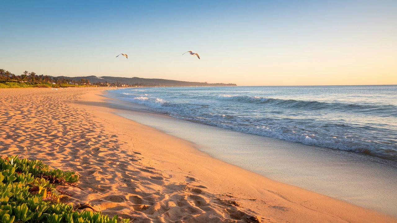
Fort Ord Dunes State Park, just south of the CSU Monterey Bay campus, holds about four miles of beach and bluff-top trail with viewing platforms and interpretive panels marking the old military coast defenses. It is the only stretch of the Monterey Bay coast where you can walk a full paved bluff run without competing with a Recreation Trail bicycle every thirty seconds. Snowy plovers nest in the dunes below, which is why the beach access is roped seasonally and the interior dune areas stay closed.
The park reads flat from the highway. It is not. There is a steady grade off the parking lot, a sequence of concrete gun emplacements the state has left standing, and enough distance that most joggers turn back at the first bluff overlook and cede the rest of the trail to whoever kept walking.
If the Peninsula has a piece of open coast that behaves like the residents' side of the bay, this is it. Free parking, dawn access, no bicycles on the bluff footpath.
Why September Is The Local Secret
Marina's coastal microclimate runs a few degrees cooler and a few notches foggier than Salinas or Carmel Valley through July. That reverses in September. The Monterey County visitors bureau flags late summer through early fall, and September specifically, as the warmest, clearest window on this stretch of coast, with the crowds already thinned by the school calendar.
The practical read for a resident: the six weekends between Labor Day and mid-October are the ones to protect on the calendar. Beach fires in the designated rings on Marina State Beach carry better on a clear night. The paraglider window at the state beach opens wider without the marine push. And the trails at Fort Ord dry into the color palette they hold through Thanksgiving.
The Sky Above Marina State Beach
The soft dune face at Marina State Beach has been a training hill for hang glider and paraglider pilots for decades. Western Hang Gliders built its reputation on that ridge, and the sport is still visible from the parking lot most weekend afternoons when the wind clocks in from the northwest. Watching a launch from the picnic tables is free, which residents already know, and which visiting relatives never quite expect.
Two miles east, Skydive Monterey Bay operates tandem jumps out of Marina Municipal Airport from as high as 18,000 feet, which the operator promotes as the highest tandem altitude in the country. The under-canopy descent runs six to eight minutes over the bay before landing back at the airport. It is a bucket-list booking, not a weekly ritual, but it is a Marina address, and the guest who has already done Carmel Beach and Point Lobos is often the guest who says yes to it.
What Is About To Change At The Southern Edge
The Fort Ord Regional Trail and Greenway, known as FORTAG, is a proposed 30-mile paved network connecting Marina, Seaside, Del Rey Oaks, Monterey, and unincorporated Fort Ord. The first phase, the 1.5-mile Canyon Del Rey segment through Work Memorial Park, Del Rey Park, and the Frog Pond Wetland Preserve, has been under construction since August 2024. According to the Transportation Agency for Monterey County, work is expected to run through August 2026, with the Frog Pond Wetland Preserve reopening around that same window.
This does not touch Marina city limits yet. It matters anyway. When FORTAG's later phases come north through the former base, the physical connection between residents on Del Monte Boulevard and the Peninsula's existing Recreation Trail turns Marina into something it has not been before: a place you can bike to Cannery Row from, on paved separated grade, in an afternoon. That is a shift in what "living in Marina" means, and it is worth tracking now, one segment at a time, on the TAMC construction update pages.
Residents watching this closely will note that the Frog Pond reopening is the first tangible payoff after two years of closed gates. It is also a reasonable early September walk with a coffee in hand, once the fencing comes down.
A Practical Marina Ten Days
Setting the whole picture against the calendar of August 7 through 16, when the Peninsula is at capacity:
- Save Sunday morning of Concours weekend for a Fort Ord loop out of Creekside Terrace, not a drive south
- Fold the El Charrito counter into a Dunes-side beach afternoon rather than a separate trip
- Send visiting family to Skydive Monterey Bay on a weekday, when the manifest is short
- Watch the FORTAG updates for the Frog Pond reopen date, which is expected inside this same month
- Hold Fort Ord Dunes State Park for a golden-hour walk after the traffic on Highway 1 quiets after seven
The Peninsula's headline events run on their own schedule. Marina's rewards run on the resident's schedule, which is the whole difference.
When The Fairways Clear
The team at William Smith tracks the Peninsula from Big Sur to Prunedale with the same attention we bring to a specific block on Ocean Avenue. If your next chapter has you weighing what daily life looks like on this side of the bay, or you own a property here and are thinking about the long horizon, start a confidential consultation.