The steel truss sections for the new bridge came from a builder in Loveland, Colorado. The bridge has five parts, and some sections weigh as much as 55,000 pounds. To set them, the Monterey Peninsula Regional Park District planned to run a 150-ton crawler crane from a temporary steel platform beside the Carmel River, then move the crane to the opposite bank partway through to place the last pieces. Once assembled, the pedestrian bridge spans roughly 265 feet, close to the length of a football field.
The district's October 7 board report expected the bridge to arrive October 12, with the crews setting it on its new supports after that. Once it's in place, nobody walks across it for a while. In its September e-newsletter, MPRPD said the bridge "will stay closed to the public while we finish building out the new trail network that connects to it," and that the bridge and trails "are scheduled to open together next summer."
For this winter, the change that matters most is at the entrance. The Rancho Cañada unit at the mouth of Carmel Valley is now the simplest way into Palo Corona Regional Park, and the next few months are the only stretch when you can walk it while the old golf course is turning back into river.
The Golf Course Had to Come Out First
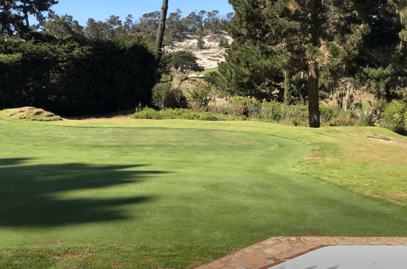
The Rancho Cañada Floodplain Restoration Project reconnects about a mile of the Carmel River to its historic floodplain. It's turning a former golf course into river, wetland and upland habitat that supports steelhead trout and opens up new room for recreation and outdoor learning. The Carmel Pine Cone reported on October 9 that the $37 million project covers 40 acres of the former course and will add 81,000 native plants.
Much of this year's work has been removal. Phase 2 began April 20, 2026. By early fall, the district's monthly reports to its board showed how much of the golf-era layout was gone:
| Work item | When | Length |
|---|---|---|
| Golf cart path demolition | May 2026 | 7,540 feet |
| Old Multi-Benefit Community Trail removed | June 2026 | 2,004 feet |
| New trail installed | June 2026 | 1,070 feet |
| Former golf course Bridge 1 removed | Late August 2026 | Not listed |
| Former golf course Bridge 2 removed | Early September 2026 | Not listed |
About 9,500 feet of old path and trail came out, and roughly one-ninth of that length has been replaced so far. The district says the trail work it added to the contract gives the park one continuous trail network once the project is finished. Until then, today's Rancho Cañada is a mix of new trail, closed construction zones and land still taking shape. The new bridge replaces aging golf-cart crossings and uses a long clear span, which MPRPD says "gives the river room to wander, shift, and do what rivers naturally do."
The Entrance That Needs No Permit
Most of Palo Corona has always involved some planning ahead, and two of its three entrances still do for anyone arriving by car. The Rancho Cañada side doesn't.
| Entrance | Permit needed? | Parking |
|---|---|---|
| Rancho Cañada unit, via Carmel Valley Road to Village Park Road, beside the Community Church of the Monterey Peninsula | No | Ample, per MPRPD |
| West gate on Highway 1 | Yes | Limited shoulder parking |
| South Bank Trail east gate, Santa Lucia Conservancy lot at 26700 Rancho San Carlos Road | Only if you park; walking or biking in needs no permit | Very limited, first come, first served |
If you do need a permit, MPRPD processes applications through its website Monday through Friday from noon to 4 p.m., excluding holidays, and asks that you not submit same-day requests. The park is open dawn to dusk. At Village Park Road you can drive in, park and walk with no permit at all, which makes the Rancho Cañada unit the easiest choice for a spur-of-the-moment walk by car.
The unit has been part of the park since 2018, when 190 acres of the former Rancho Cañada Golf Course were added along with a Discovery Center that also serves as district headquarters. The Discovery Center is open Friday through Sunday from 10 a.m. to 4 p.m. and on Monday holidays.
What Is Open Right Now
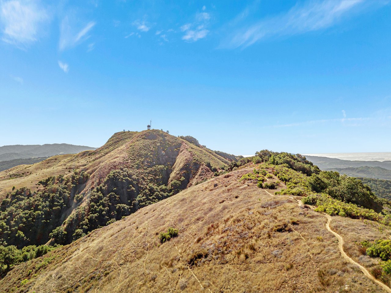
The new trail segments near the Discovery Center and Gateway Plaza are open to the public. MPRPD's current park map recommends two hikes from this side, the Oak Knoll Loop and the route from the Discovery Center to Inspiration Point. The district describes the Inspiration Point climb as a 2.2-mile, moderate-to-strenuous route with 750 feet of elevation gain. It climbs through coast live oak to a picnic bench with a view over Carmel and the coast. The same map marks the Discovery Center to San Jose Creek Bridges route as "Accessible by Permit Only."
Closed areas move as the work moves. The map labels the Phase 2 construction area "Summer 2026 - Spring 2027." The project FAQ says active construction areas close temporarily, trails may change from phase to phase, and on-site signs and project updates give current closure details. The project website is the best place to check before you go. MPRPD's newsletter suggested watching the bridge work "from open trails outside the construction fencing."
Check with the district before bringing a dog. The construction map and the permit conditions page both say leashed dogs are allowed in the Rancho Cañada unit. MPRPD's park rules page says domestic animals are not allowed anywhere in the park.
Why Winter Is the Season to Watch
October is when the construction calendar turns over. The district's work plan for late September through late October included native seeding starting around October 12. It also called for continued planting and willow pole installation, irrigation lines, and wrapping up in-river work before the October 31 deadline and the start of the rainy season. Over the summer, crews built riffles, pools and stable banks from boulders, river rock and gravel, and they shaped large upland mounds from the soil the channel work dug up.
This winter, the first rain will reach a newly built channel, freshly seeded ground and young willows. That's what the project was designed for, and the open trails near the Discovery Center let you see it from close by. Keep in mind that MPRPD can cancel access permits for bad weather or hazardous trail conditions, and its park rules allow temporary closures for safety, wildlife and resource protection.
The district's Fall 2026–Winter 2027 program guide lists guided walks for the coming weeks at Palo Corona and at Garland Ranch, a few miles up the valley:
- Saturday, Nov. 14: Seasons of Garland, Garland Ranch Visitor Center
- Sunday, Nov. 15, 2–4 p.m.: Awe Walk, Palo Corona Park Plaza Entry
- Sunday, Nov. 15: San Jose Creek Loop
- Thursday, Nov. 19, 9 a.m.–noon: Birding in San Jose Creek, Palo Corona Park Plaza Entry
- Saturday, Dec. 5: Winter Bird Walk, Palo Corona Park Plaza Entry
- Sunday, Dec. 6, 2–4 p.m.: Awe Walk, Palo Corona Park Plaza Entry
For the Garland Ranch walk, MPRPD now lists the visitor center at 700 West Carmel Valley Road as open Thursday through Monday from 9 a.m. to 3 p.m. The guided San Jose Creek outings are worth a look because that part of Palo Corona is otherwise behind the permit line.
Next Summer, and the Summer After
Once the bridge and its connecting trails open together next summer, the Pine Cone notes, hikers will be able to cross the Carmel River at Palo Corona year-round. The work won't be finished at that point. The project FAQ schedules Phase 3 for June through September 2027 and describes it as "final touches." Some of that groundwork has already been done. The October board report says vegetation removal near the Alcove area for next year's Phase 3 is complete. Crews also built a new gravel access road linking the Santa Lucia Conservancy headquarters and outdoor education area to the MPRPD headquarters parking lot.
So the bridge opening and Phase 3 construction will likely overlap next summer. Until then, start at Village Park Road, stay on the open segments near the Discovery Center and Gateway Plaza, and use the signs at the fence line to find where the new channel runs.
At Carmel Luxury Group, we track how places like the restored Rancho Cañada change daily life at the mouth of Carmel Valley. If you own property nearby or are thinking about how this land and its trail network will fit into your plans, start a confidential consultation with us.